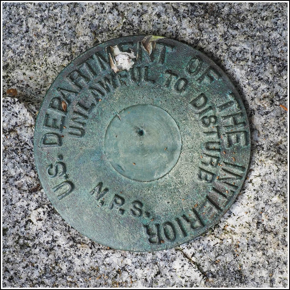
NPS (Unstamped, Acadia #23)
Recovered in Good Condition on September 17, 2025
Spatial/elevation data
| Coordinates | N 44.321261° W 68.20302° |
| Elevation | Unknown |
| Location | Maine
Hancock County Seal Harbor Quad |
Mark description
| Type | Boundary Monument |
| Setting | Granite Post |
| Monumented | Unknown by National Park Service |
Narrative and photographs
Rich and I took a quick walk down to Otter Creek Landing this morning, just because we’ve never checked it out before. The simple boat ramp may not appear very exciting, but we spotted not only a garter snake here, but also three NPS boundary markers in close proximity! This was the third and final one we spotted, set in a granite post southwest of the boat ramp, near the edge of the woods. A boat is currently tied to the granite post. The unstamped disk is in good condition.


