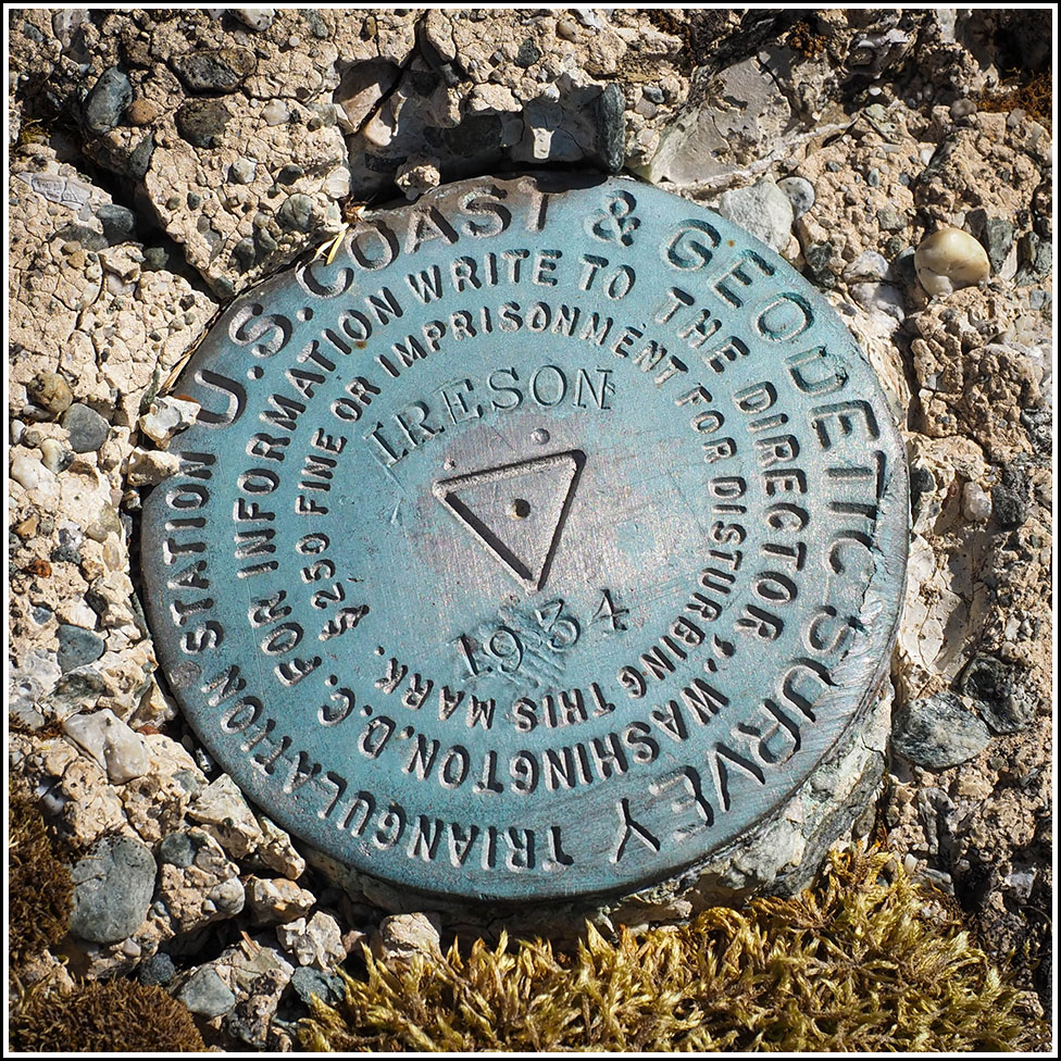
IRESON (PE1889)
IRESON
Spatial/elevation data
| Coordinates | N 44.43208° W 68.263336° |
| Elevation | 230 ft. |
| Location | Maine
Hancock County Salsbury Cove Quad |
Mark description
| Type | Triangulation Station Disk |
| Setting | Concrete Monument |
| Monumented | 1934 by NGS |
| Description (NGS) | NGS Datasheet |
Narrative and photographs
IRESON has been on our list for literally 20 years! We had been avoiding it, feeling a little intimidated by the “private” campground and not wanting to disturb any campers or cause a problem. Well, today we just decided to take a drive through and see what the situation looked like. We drove through the various campground loops, noticing that the place was so busy that we just blended in, for the most part.
We made our way toward the coordinates, and when we got out of the car I started reading off the description.
“Never mind,” Rich said. “It’s right here!” And there it was, right out in the open on a concrete monument at the corner of a well house (as described by Joe Coffey). The monument was slightly damaged but the disk is in perfect condition.
Reference mark 1 is likely still in place, but the campground was a bit too busy today for us to feel comfortable digging around too much. We did find one bedrock outcrop at approximately the right distance and direction from the station, but we didn’t see the mark anywhere on the parts of the outcrop that we were able to uncover. I would like to plot the coordinates according to the box score and try again.
For reference mark 2, the location that the box score plots to is squarely beneath the paved roads of the campground. I don’t have much hope that this mark is findable or that it even still exists.


| Designation | Status | Condition | Image |
|---|---|---|---|
| IRESON RM 1 | Not Found | Unknown (Not Found) |

|
| IRESON RM 2 | Not Found | Unknown (Not Found) |
|